SERVICES
PAN Network provides valuable technical services in the Development Sector. It mainly encompasses the Planning and Implementation of Natural Resource Management, Watershed management, and Alternative Livelihood issues, using Geo-informatics technology along with Socio-Economic Survey. It provides valuable services in the field of water and soil conservation. The PAN team also has expertise in Engineering Drawing and Drone Surveys. The team provides training for Capacity Building for Rural Development.Over the years PAN has built a strong and reliable relationship with the clients and has become one of the trusted names in the industry with hard work and professionalism.
NATURAL RESOURCE MANAGEMENT
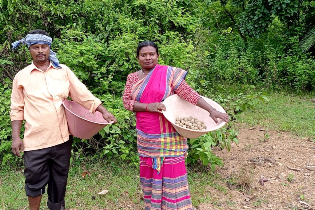
PAN considers afforestation as one of its important activities in the development and management of natural resources. Mainly soil erosion, landslides, lack of water, deforestation cause the destruction of forest lands, tree areas surrounding the villages. PAN involves local people also in the afforestation process to make seed balls, planting saplings etc.
RESOURCE MANAGEMENT AND PLANNING
In urban and rural areas, sustainable management of land and water resources faces a lot of challenges with growing population. A number of land and water related issues are to be considered like soil erosion, land acquisition and resettlement & rehabilitation, dried up water sources, open spaces, urban resources, encroached rivers, transport, mining, forests, forest villages, environment and so on. Studies like Monitoring of Land use change, Land use Planning and Zonation have tremendous impact on proposing alternate solution to improve the environment and livelihood pattern of the local people and incremental overall development.
GEOINFORMATICS & REMOTE SENSING SERVICE
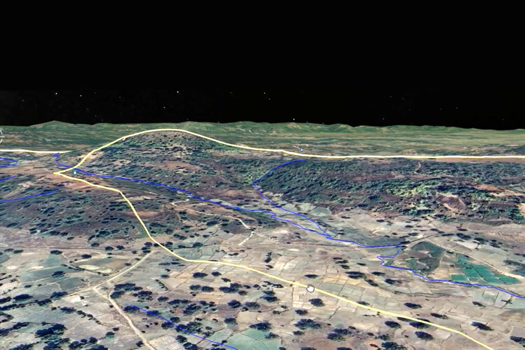
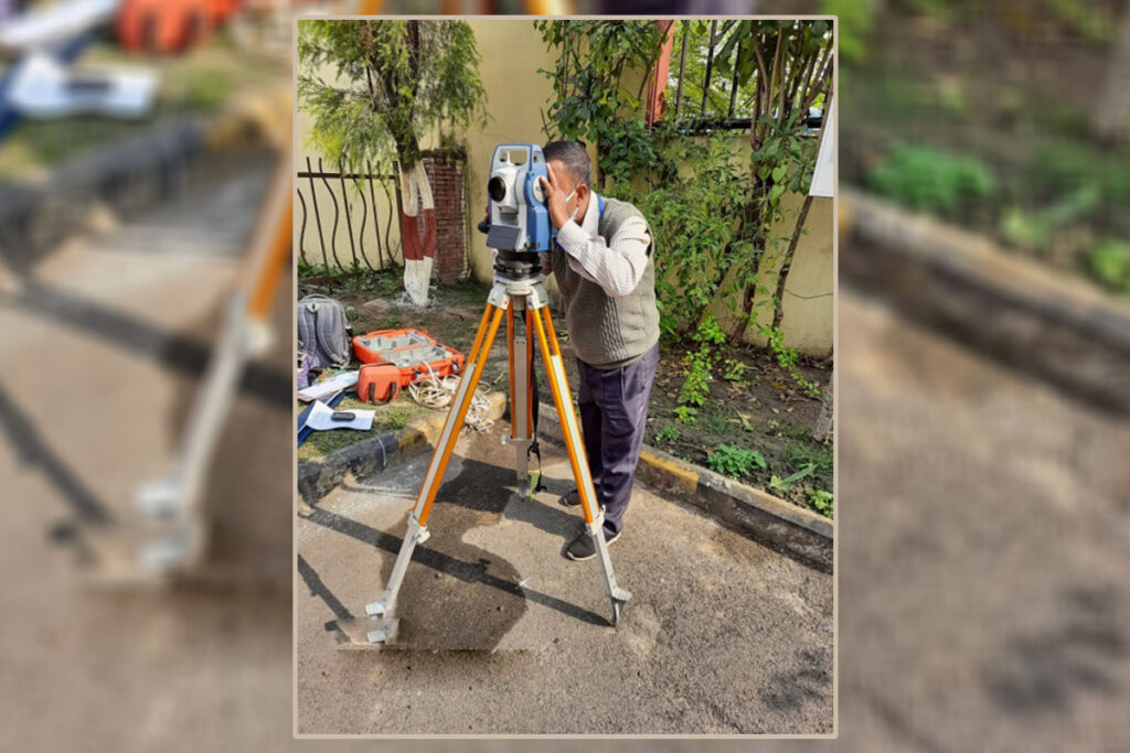
With very sound technical knowledge and experienced multidisciplinary team of professionals, PAN has gained a strong foothold in Geo-informatics and Geo-Science fields. Supported by up to date software and hardware PAN team has been working in Satellite Image Interpretation, data collection, analysis in the application areas on Environment Science, Hydrogeology, Geology, Soil Science, Photogrammetry, Surveying, Urban & Rural Planning, Transport, Economic & Business modelling. The workload being dealt with by our expert team includes creation of GIS database, Map Digitisation, Decision Support System, Customisation, GPS services, Total Station Survey and Mapping, preparation of CAD Engineering drawing, contour mapping & traversing etc.
SOCIO ECONOMIC STUDIES & SURVEYS
Socio Economic Survey is aimed to study the social behaviour, economic conditions of people, future trend, Peoples’ opinion, demand of market, levels of satisfaction, perception of improvement regarding any suggested pan or program and so on. This survey is the only direct way to come in contact with the people of the area being surveyed and to get the people’s reaction and acceptability of some already worked out proposals/plans.
GEOHYDROLOGICAL STUDY
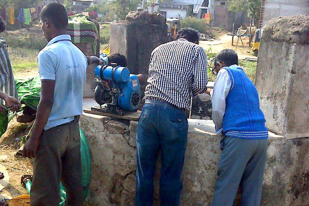
The sustainable management of land resources in urban and rural area throws enormous challenges to the society with a rapid growing population. Land based problems are multifaceted starting from soil erosion to land acquisition and resettlement & rehabilitation. Issues like land use planning and impact of land use change have a far reaching effect on the environment as a whole. PAN has experienced professional Geologist, Geophysicist and Hydrologist to conduct various geological geophysical and hydrological studies.
TECHNICAL SUPPORT FOR CSR ACTIVITIES
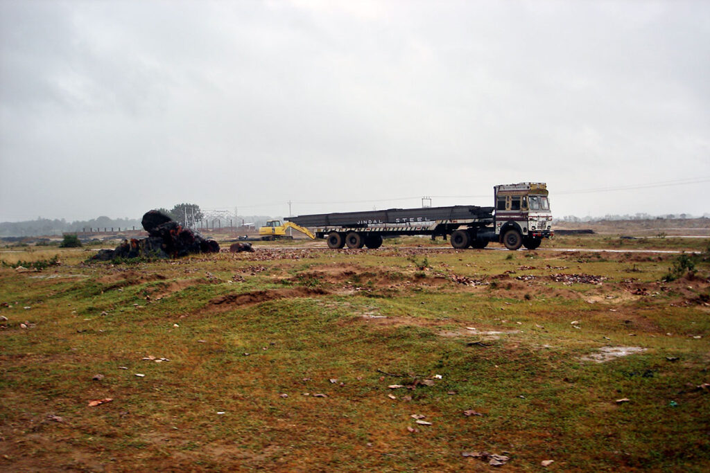
Corporate Social Responsibility revolves with the idea of not only the profitability of any Business House but also taking care of the interest of the Society and the Environment.
PAN provides many services in CSR activities.
BUSINESS GEOGRAPHICS & MARKET RESEARCH
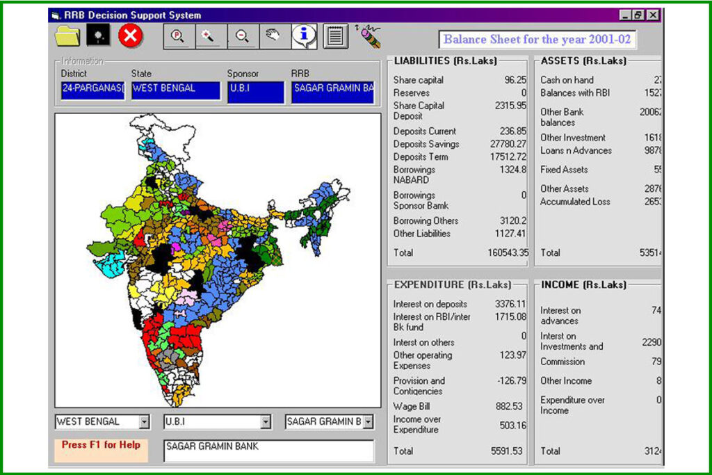
PAN supports Business Geographics by creating business decision support system with current information of market, consumers, topography, infrastructure, Population, Potential target consumers, agriculture, industry, trade, power, education, Health, road connectivity, network linkage, physical distribution etc. available in spatial form either at macro or micro level (All India, States, Districts, Towns, Cities) and further zooming in as required to be used for strategic business planning.
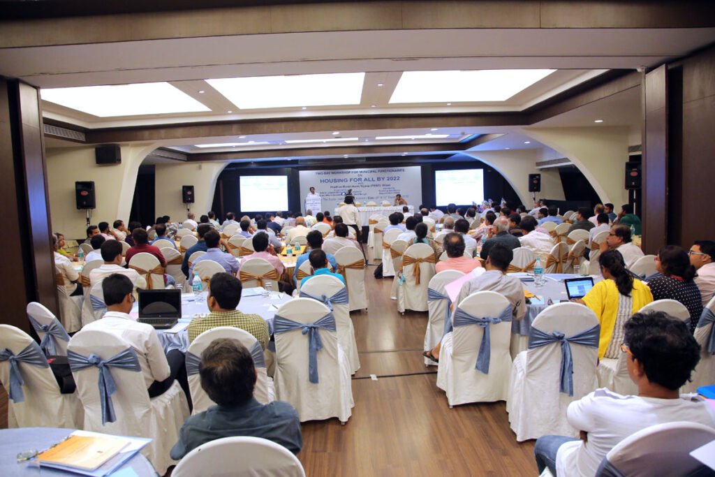
TRAINING & CAPACITY BUILDING
Capacity Building of People’s Institution
Any Project requires a level of individual involvement in identification, planning and implementation of the work in a meaningful manner. This is only possible through continuous capacity building processes such as training, handholding and mentoring based on their level of requirement and capability.
PAN team assesses the requirement for capacity building and customizes the training, technical handhold training, organizing meetings etc. at various levels for the Institutions.
